
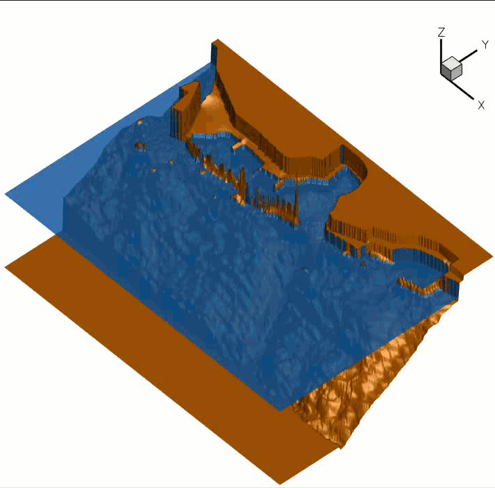
We consider the study of the resonance frequencies of the old Venetian harbour of Chania, located in the middle of the Mediterranean sea, in the northwest of the island of Crete. This is the symbol of the city and a historical landmark, still playing an important role in the economical and social life of the island since it is the only available local harbour for cruising/recreational boats, used by locals and visitors.


To protect this important landmark, since 2010 there has been an effort to study the behaviour of the harbour during storms. Recently, one of the weakly dispersive unstructured grid models developed in the team has been used to numerically study the wave conditions in the harbour. Considering the geometrical scales involved (spatial domain of the order of the kilometer, and harbour features of a few meters) and the time scales involved (forcing over several hours of wave forcing with a realistic spectrum), this is a real challenging multi-scale application.
The wave input used in the numerical simulations corresponds to an idealized northern storm, very close to the ones recorded in reality. The simulation provides detailed instantaneous snapshots of the diffraction of the waves in the harbour’s basins during the simulated hours of storm. These instantaneous fields can be analysed to give detailed information on the wave physics of the harbour, and in particular to compute resonance frequencies and modes of oscillations, thus providing qualitative and quantitative estimates of the inundation (overtopping) risks around the harbour.
The two figures below show the resonant frequencies as well as the distribution of the significant wave height. The latter shows waves with significant height of 1.5m traveling towards the quay of the western basin which experiences substantial overtopping during storms.


Finally the first four modes in space obtained numerically are also reported. The fundamental mode is defined by one node and one antinode located at the entrance and the eastern end of the harbor respectively. The second mode shows two antinodes, one at each extremity of the harbor basin, and a node roughly midway between the antinodes. The other two modes, with periods ~125s and ~100s, have the two antinodes at the basin extremities and additional in-between them.


